
Slope and groundwater
Measure slope movement, tilt and groundwater levels with IoT
Ground moves slowly, until it does not. Wireless tilt sensors, in-place inclinometers and groundwater sensors give you a continuous picture, and Sensor-Online warns you when readings cross your limits.
1,000+ devices in our catalogue · LoRaWAN, NB-IoT and LTE-M · Swedish supplier and support
How it works
From slope to alert.
Install sensors
Tilt sensors, inclinometers and groundwater sensors where the ground matters.
Connect
Wireless nodes and long-range networks reach remote sites without cables.
See
Maps, trends and thresholds show movement and water levels.
Act
Alerts and reports reach the people who decide what to do.
What you can monitor
Measurements for slopes, embankments and excavations.
Tilt
Tilt sensors on retaining walls, slopes and structures.
Subsurface movement
In-place inclinometer arrays show movement at depth.
Groundwater and pore pressure
Piezometers and pressure sensors for water level and pore pressure.
Water levels
Level and pressure sensors in wells, boreholes and basins.
Rainfall and weather
Weather stations, and SMHI weather next to your own data.
Displacement
Laser distance sensors for settlement and surface movement.
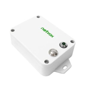
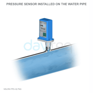
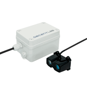
Example devices from our range
Sensors that work with Sensor-Online.

Which sensor for which question?
Match the measurement to what you need to know.
| Your question | Use this | Typical place |
|---|---|---|
| Is the structure or wall leaning? | Tilt sensor | Retaining walls, piers, slopes |
| Is the ground moving at depth? | In-place inclinometer | Boreholes and embankments |
| Is groundwater rising? | Piezometer or pressure sensor | Wells and boreholes |
| Is rain a factor? | Weather station | On or near the site |
What the platform does
Early warning from several signals.
Thresholds and alarms
Set alarm limits and priorities and get alerts by e-mail, SMS, Telegram, webhook or MQTT.
Rain and movement together
Use the rule engine to combine tilt, water level and rainfall in one rule.
Maps
Place measuring points on a map and see every site at a glance.
History
Keep the full history to compare seasons and events.
Reports
Export results as PDF, Excel or CSV.
Remote sites
LoRaWAN for long range and low power, or NB-IoT and LTE-M where there is cellular coverage.
Monitoring supports engineering judgement
Data does not replace geotechnical assessment.
Sensor-Online shows the data and sends the alerts. Alarm limits and risk assessment remain the work of qualified engineers.
See Ackcio and Worldsensing monitoring systems →Related features
IoT structural health monitoring
Read more →Ackcio and Worldsensing wireless monitoring
Read more →Alarm management
Read more →Real-time environmental monitoring
Read more →Frequently asked questions
How can I monitor slope stability with IoT?
Place tilt sensors and in-place inclinometers on the slope, add groundwater sensors and weather data, and let Sensor-Online show the trends and send alerts when readings cross your limits.
Which sensors measure groundwater?
Piezometers, including vibrating-wire types, and pressure or level sensors in wells and boreholes.
Can I combine movement and rainfall?
Yes. The rule engine can combine readings from several devices, for example tilt and rainfall, in one rule.
Does it work in remote places?
Yes. LoRaWAN is built for long range and low power, NB-IoT and LTE-M cover sites with cellular coverage, and you can run a private LoRaWAN network on your own gateways.
Do the sensors need cables?
No. Wireless, battery-powered nodes send the readings, so you avoid long cable runs and the risk of damaged cables.
Who sets the alarm limits?
You and your engineers. Sensor-Online shows the data and sends the alerts, while limits and risk assessment remain the work of qualified engineers.
Planning to monitor a slope or groundwater? Talk to an engineer.
Tell us about the site, and we will suggest sensors and how to connect them.
LoRaWAN® is a registered trademark of the LoRa Alliance. All trademarks belong to their respective owners.